RUSSIA, ARKHANGELSK OBLAST
Kargopol Familia map
New life to old historical map in Kargopol
Kargopol is an old historical town on the shores of Onega river, with incredible architecture. The whole center is an open museum that still hasn't been affected with the urban impact. Being included in UNESCO list of creative towns and historical towns of Russia Federation, this town is worth for a visit. Problem of keeping old houses alive is familiar to a vast amount of old towns across Russia, and this situation is acutely apparent in Kargopol as well. Keeping old houses from being demolished was the first our project with Kargopol and resulted in creating a Familia cluster back in 2016. This goal of this project was to raise attention across common tourists that come to Kargopol. We have created a historical map that points out location of historical buildings both religious and residential.

Kargopol as of the beginning of 20th century
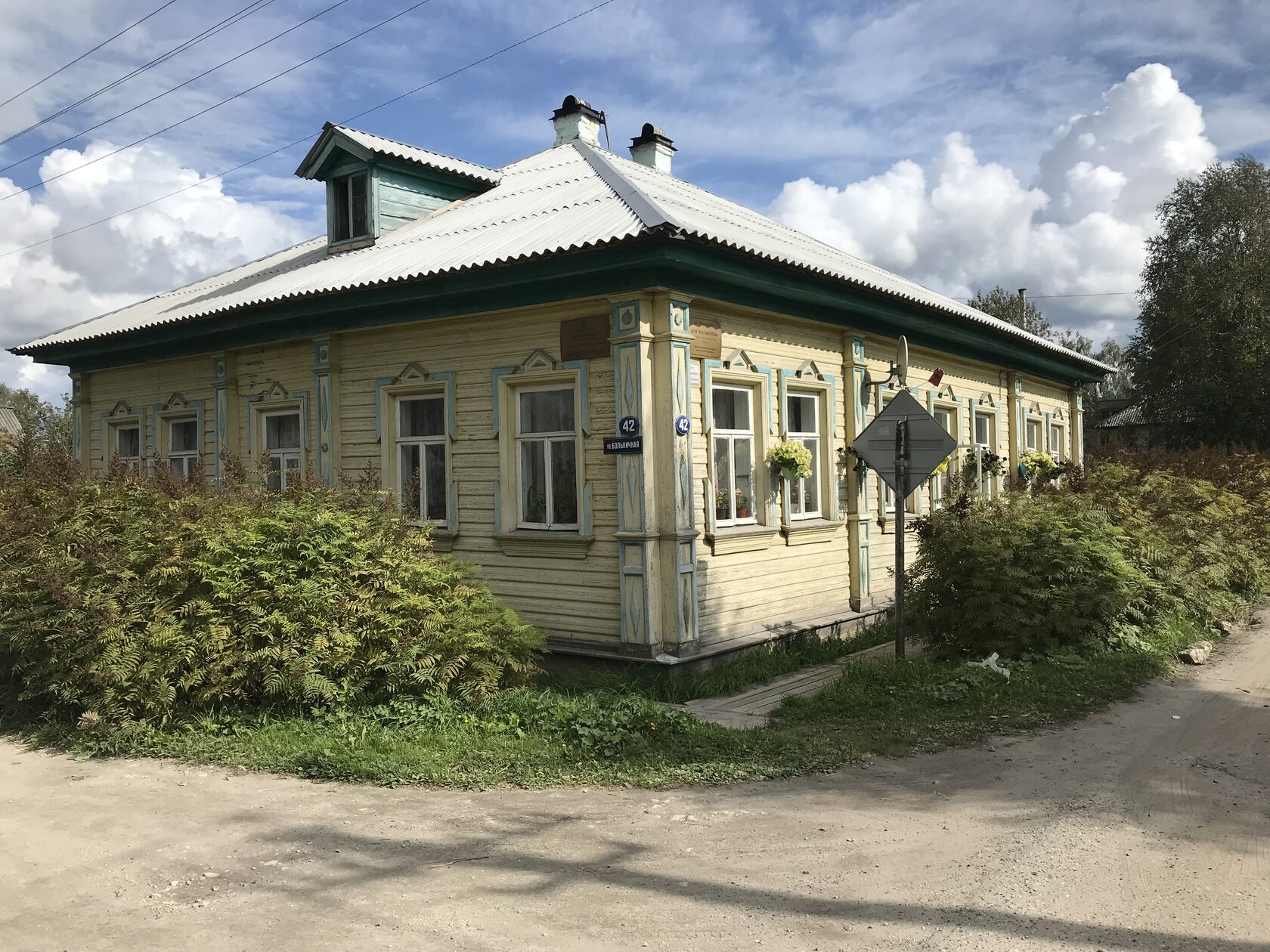
While there were almost 22 cathedrals of different types sizes before Soviet period, many of them were lost. The same is with the residential buildings. Yet other than that, many remain. Here is a nice set of now/then comparisions for you to be mesmerized. It truly is the open museum for those who understand.
Interesting, that the outstandingly large number of churches in small Kargopol doesn't correspond with level of churchianity across its locals. Rather than that, it means that the rich residents didn't like to collaborate and we eager to have a private church in property.


Now and then across the photos of Kargopol buildings
Historical perspective by Pavel Dikov
Young architect born in Kargopol, now living in Vologda has modelled an outstanding piece of art: the volumetric historical map of his hometown. This birdview is dated back to the beginning of the 20th century. This map was used by our team as a source.

From the historical perspective of the beginning of 20th century by Pavel Dikov
Maps around the Kargopol
Original historical map by Pavel Dikov had been used as a source for this outstandingly aesthetical map. Cathedrals and historical building are marked blue, while living houses are colored ochre. The ones that had been destroyed in the previous century are more transparent, while the ones that exist are saturated. The full list of names is added to the left. Map is extremly catchy when comparing with the modern town.

Standalone posters had been put around museum quartal for tourist inspection
Take away broschures
Broschures with a map had been designed to be put across town tourist objects, museums and hotels. There is a warning, though, that the map can hardly be used for wayfinding purposes: the town has some significant changes happened to it during the soviet time. Tourists can learn the historical impact while having a walk, comparing current street structure with the historical one.

Tourist map broschures are better be used with care: map is outdated for at least a century
And, finally, interactive:
Online map is especially useful, because it has two maps, whereas one is historical and the other one is modern. Switching between the two can be convinient for a tourist to compare how many historical buildings, streets and whole quarters had been lost or totally rebuilt. Note that it'll be useful to open the webapp while on online, otherwise you can encounter problems with cell coverage in Kargopol, especially inside the historical buildings.

You can switch from the historical to the modern map when walking around Kargopol
- Pavel DikovArchitect, map designer
- Igor MakovskyDesigner
- Alexey TarutinDeveloper
- Ekaterina Zabaldina,
Olga KabrinskayaThanks for support
More projects in Arkhangelsk Oblast


